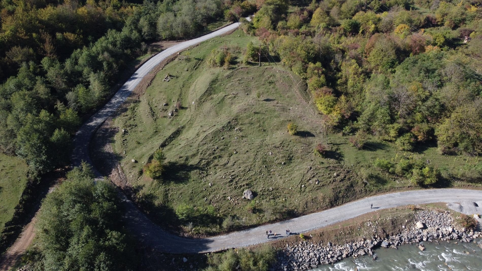
PIEVC protocol application for road infrastructure in Georgia

In pursuit of a more resilient and hazard-prepared society, the project "Using the PIEVC Protocol and Related Resources to Improve Risk-Informed Decision-Making Processes in the Republic of Georgia", implemented by Climate Risk Institute (CRI) and financially supported by GIDRM, has embarked on a mission to strengthen risk-informed decision-making processes. This initiative encompasses a comprehensive evaluation of road infrastructure vulnerabilities within the context of climate change, following the structure of the Public Infrastructure Engineering Vulnerability Committee (PIEVC) protocol for climate risk assessment.
Application of the PIEVC Protocol in Racha-Lechkhumi and Kvemo Svaneti
In March 2023, the vulnerability assessment had its kick-off in a webinar bringing together relevant departments from the Ministry of Environmental Protection and Agriculture (MEPA), the Ministry of Regional Development and Infrastructure (MRDI) and the Ministry of Economy and Sustainable Development (MoESD) along with international experts from CRI. There, methodology and principles of the PEIVC protocol were introduced as well as the strategy for its practical application in evaluating the vulnerability of road infrastructure across Racha-Lechkhumi and Kvemo Svaneti. More information on PEIVC.
In July 2023, the assessment was finalized and its results were presented in an online meeting format. During the meeting assessment's purpose and scope were reviewed to ensure stakeholders' commitment.

Insights from the report
The climate hazards that appear to pose the most vulnerability to road infrastructure in Georgia are short duration high intensity rainfall, long duration rainfall, extreme heat and heat waves, and wildfire. The report's findings paint a comprehensive picture of vulnerability across multiple components of road infrastructure, for instance:
- Asphalt surfaces wereexposed to the maximum number of evaluated climate hazards in the assessment and rated medium to high vulnerability.
- Oher road infrastructure components such as embankments and drainage are rated at high vulnerability due to their high exposure to short-duration high intensity rainfall events and multi-day rainfall events. High sensitivity and high adaptive deficit exist due to the complex topography in the region.
- Future climate events can trigger cascading impacts such as landslides and mudslides and overwhelm the designed capacity of culverts or initiate debris flows along the roadway. Sensitivity was rated high due to the lack of alternative routing for residents.
- Wildfire-related events were rated as high vulnerability for asphalt surfaces, embankments, bridge carriageway and bearings, tunnel ventilation, stormwater drainage, and communications. The adaptive deficit of these components was rated high due to potential for physical damage, emergency response characteristics, and access to supply chains. Sensitivity was also high due to design, redundancy, system complexities, and potential for cascading impacts).
Guidance and Recommendations
- Conduct further assessments of climate-related risks by applying the full PIEVC Protocol and include site visits, local engagement, and workshops to determine the consequences of prioritized climate hazard and infrastructure component interactions.
- Consider in greater detail the impacts of climate hazards on asphalt and road surfaces, drainage infrastructure and embankments in future analyses. A comprehensive PIEVC assessment can allow for a more in-depth exploration of the risks associated with asphalt and road surfaces and include engineering analyses as needed.
- An exploration of the likelihood of wildfire events in the region should be conducted .
- Utilize the high-level vulnerability assessment findings to facilitate additional analysis, such as geospatial analysis for a comprehensive segment-based study. This approach will incorporate local physical conditions and enable the identification and prioritization of vulnerable regional road segments.